Canary Islands Country Information
Background
Geography
|
- Area: 7,447 sq km (2,875.30277 sq mi)
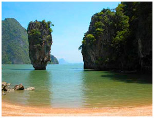
- Terrain: Volcanic; Tenerife, the largest island has central mountains with mix of rocky cliffs and sandy beaches along the coastline. Fuerteventura has long beaches, rolling plains, and central valleys. Gran Canaria is mountainous in the central region that drop dramatically down to the coast forming ravines. The coast is lined by rocky cliffs and beaches surrounded by rich tropical palm forests and banana trees. Lanazorte has volcanic terrain throughout the island. La Gomera is moutainouse with densely forested regions. The coastline has plunging cliffs that drop down to the ocean waters below.
- Climate: Sub-tropical; temperate all year round even in the winter; The southern islands are drier and the flatter islands receive very little rainfall throughout the year. The northern side is more sub-tropical. Temperatures become much cooler when you head into higher altitude areas.
|
People
Government

|
